QtVlm menus
De VlmWiki
Sommaire
QtVlm Menu
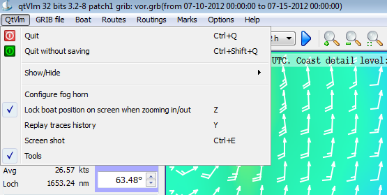
- Quit or Quit swithout saving
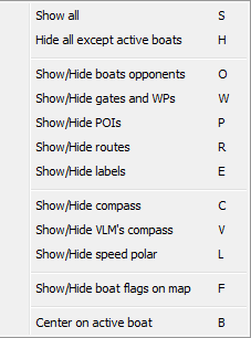
- Show/Hide opponants, gates, POIs, etc....
- Show/Hide qtVlm toolbar
- Configure horn (will play a sound at a given date/time).
Grib Menu
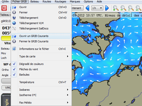
- Open an existing grib file
- Close the current grib file
- Download a grib file (select a zone first, up to 8 days) (more help)
- Download one of the 4 available grib files from VLM (5 days of forecast)
- Request through mail a SailDocs grib (max 16 days) for the selected zone
- Open/Close sea currents grib
- Information about the current loaded grib file
- 4 buttons to show/hide meteo componants
- Meteo faxes open/close: Allows to display meteo faxes with various parameters (more help).
Boat Menu
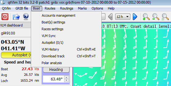
- Account parameters to define VLM account or real boat ( more help)
- Boat parameters to setup various options for a specific boat (more help)
- Races parameters opens a dialog to define which opponents to display and other options (more help)
- VLM Sync synchronizes qtVlm with VLM
- AutoPilot opens the autoPilots dialog (more help)
- Study boat's polar (more help)
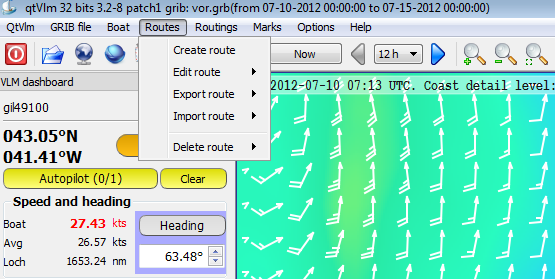
Routes Menu
- Create a route opens the route creation dialog (more help)
- Edit a route opens the same dialog to edit an existing route
- Export a route with 2 options :
- "détail" also exports all intermediary points i.e. one per vac, normally 5 mn.
- the other choice exports only all the POIs belonging to the route.
- Import a route either previously exported or generated with another program (frogtool or route bank marano).
- Delete an existing route, you can keep or not the POIs belonging to this route.
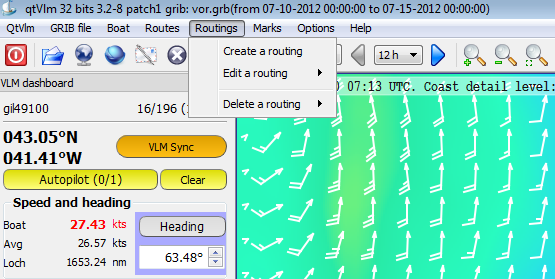
Routings Menu
- Create a routage (more help)
- Edit an existing routing
- Delete an existing routing
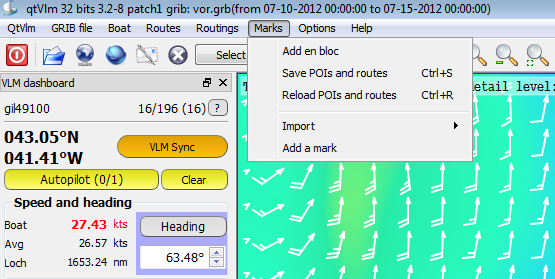
Marks Menu
- Mass import opens a dialog that allows you to capture or to paste several POIs at once, in the form latitude,longitude@-1
- Save/Restore all POIs and routes in poi.dat file. An automatic save if generated when the program exits.
- Import POIs from zyGrib
- Add a POI, same as right-click on the map and "insert a new POI".
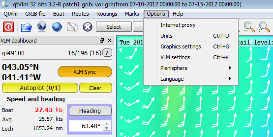
Options Menu
- Proxy Internet in case you need that to access Internet
- Graphics parameters (more help)
- VLM parameters (more help)
- Planisphere :
- Orthodromic distance: calculate a heading and a distance when you select a zone.
- Options: Borders Rivers etc...
- Language English / French
Most of these actions have keyboard shortcuts.
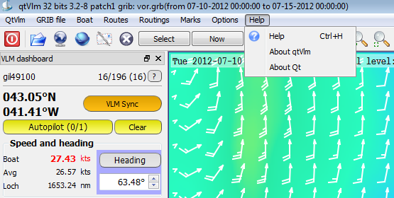
Help Menu
- This wiki
- About menus gives various version numbers
